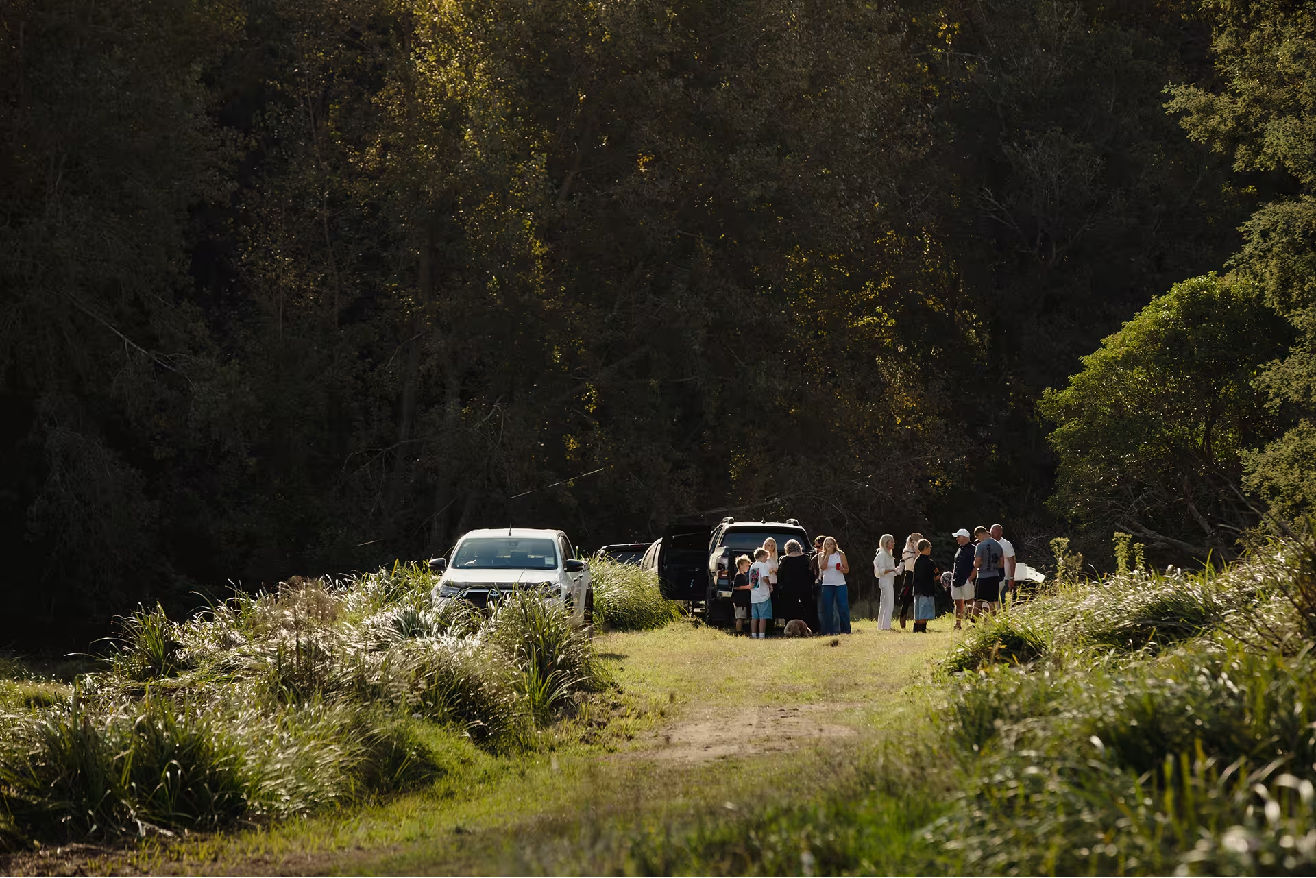
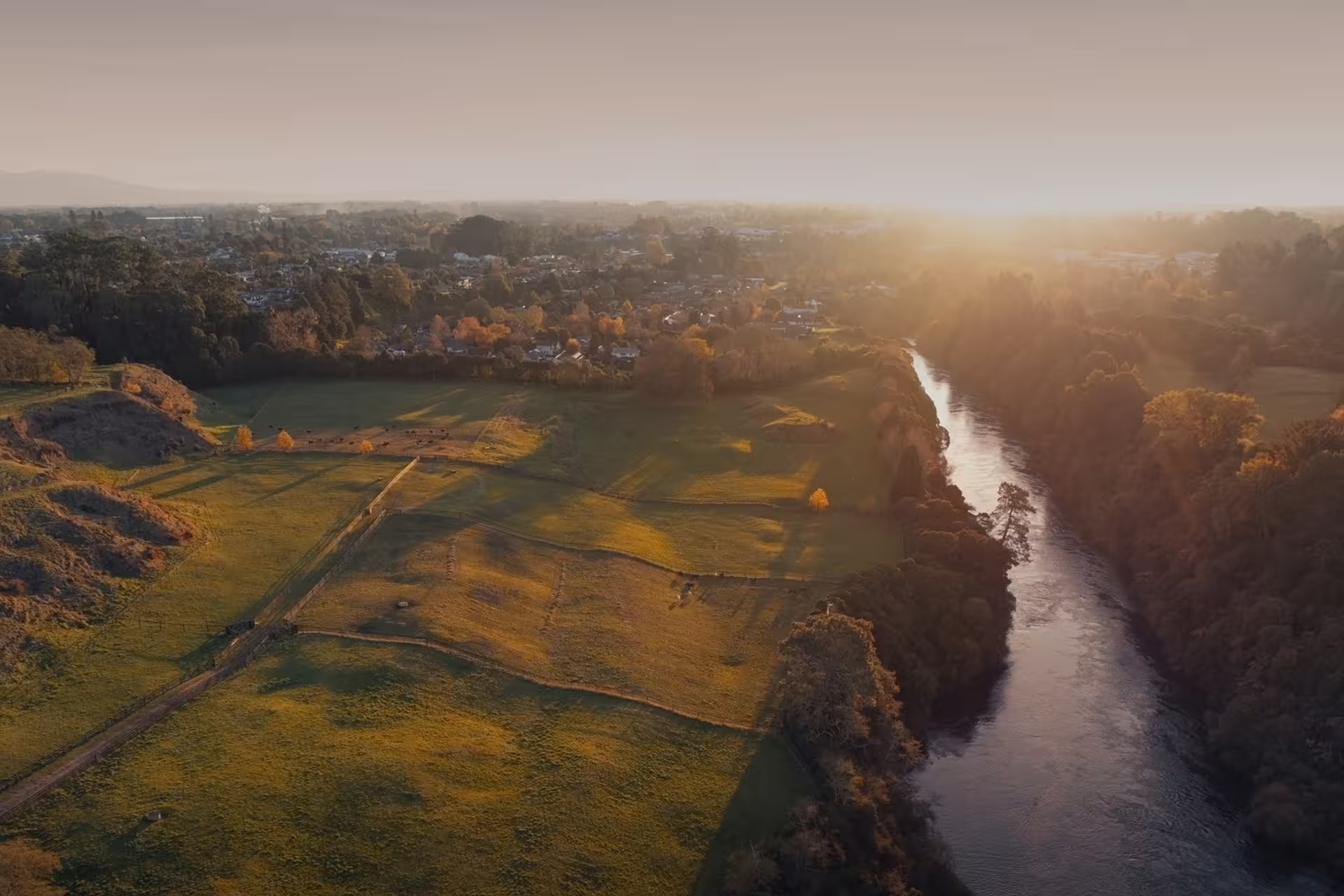
Rider Park is a concept for a new kind of neighbourhood - one designed for permanence, shaped by quality, and located on Proven Ground that the Rider family has loved for years.
Proud to call
this home.
Vision

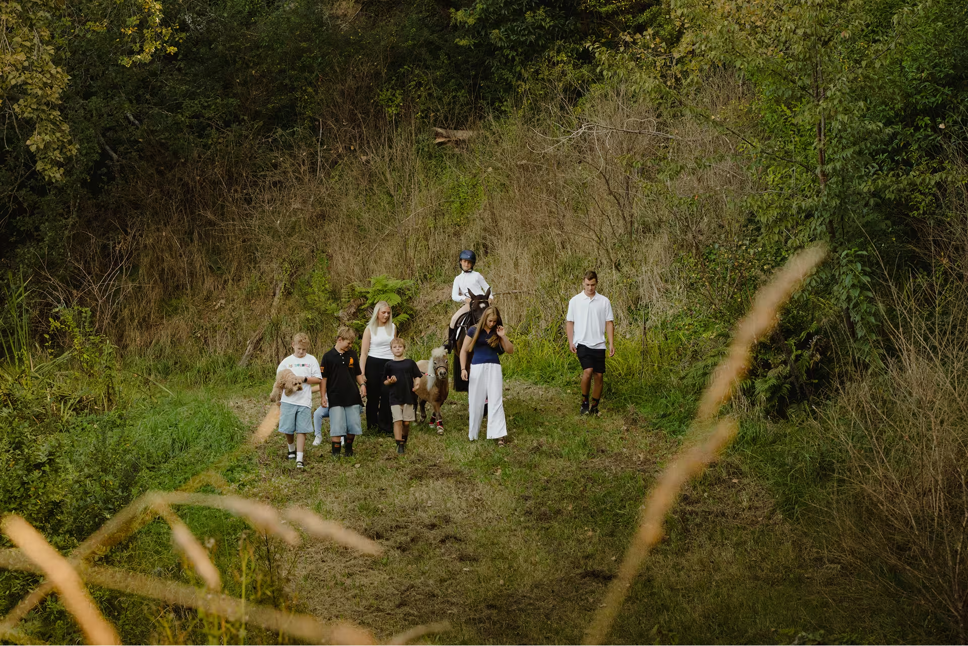
Good things
Take time.
Timeline
Your questions answered.
How big is the proposed development and how many homes would be there?
Rider Park would be developed on 98.6 hectares of land in Leamington, between Maungatautari Road and Wordsworth Street. If approved, it could deliver about 1,250 homes in stages over more than 20 years. The first stage would provide housing for about 35–40 families.
How does this development align with the Waipā 2050 Growth Strategy and Long-Term Plan?
The Waipā 2050 Growth Strategy identifies where future residential growth is expected to occur. Rider Park is consistent with that direction because part of the site has already been identified for future residential growth.
Through Proposed Private Plan Change 37, Rider Park is seeking to bring forward the timing of that growth.
The proposal takes a staged approach to infrastructure, with development-specific works delivered by Rider Park and wider network upgrades funded through development contributions where required.
How would noise, dust, traffic and other disruptions be managed during construction?
Council would set requirements for managing noise, dust, traffic and other construction effects through consent conditions. Rider Park would be required to comply with those conditions as construction progresses.
How would the development work alongside adjacent rural and recreational activities, such as farming, the golf course and rugby club?
The proposal has been prepared with neighbouring rural and recreational activities in mind. Its layout and future consenting requirements would need to consider nearby land uses, including farming, the golf course and the rugby club.
If approved, when would construction begin?
If approved, groundworks could begin in late 2027.
What community features and amenities would be included in the development?
The proposal includes a 10-hectare gully that would be restored and made publicly accessible, along with provision for shops and services and links between homes, employment areas, services, natural areas and open spaces. It would also include a walking and cycling network intended to connect with the wider area.
What is being proposed at Rider Park in Cambridge, and why now?
Tony and Vicki Rider are proposing a new residential community in Leamington, Cambridge, between Maungatautari Road and Wordsworth Street. The development would take place on land currently known as Milan Park. Waipā District Council has identified much of this property as a future residential growth area. The proposal would bring forward development of that land through a planned, staged process.
What is Proposed Private Plan Change 37?
Proposed Private Plan Change 37 is the formal planning process being used to consider whether the Rider Park land should be rezoned and enabled for future residential development.
If approved, it would set the planning framework for the site. Further detailed subdivision, infrastructure and resource consent processes would still be required before individual stages could be developed.
Where can I get detailed information about the proposed Rider Park development?
Comprehensive information and technical reports related to Proposed Private Plan Change 37 – Rider Park are available on Waipā District Council’s “Let’s Talk” webpage: https://letstalk.waipadc.govt.nz/proposed-private-plan-change-37-rider-park-structure-plan
Who would pay for any upgrades required to infrastructure such as water networks and roads — the developer, Council, or ratepayers?
Infrastructure needed specifically for Rider Park, such as internal roads, stormwater systems, local connections and stage-by-stage works, would be delivered or funded by Rider Park.
For larger shared infrastructure that serves the wider network, Rider Park would contribute through Council’s normal development contributions process. This means the development would pay toward the growth-related share of those wider upgrades.
Why is this land being developed ahead of the planned 2035 timeframe?
Land that is not ready for housing is a constraint on meeting growth. If approved, Rider Park could bring forward planned residential supply in a staged way, allowing Cambridge to respond to housing demand sooner while remaining consistent with the long-term growth planning framework.
Could the town’s two bridges, Victoria Bridge and High Level Bridge, handle traffic from this development?
Technical reports indicate the existing bridges could accommodate the increase in traffic associated with Rider Park. Rider Park would also pay development contributions to Council, which could contribute to wider strategic transport infrastructure, including any future bridge project.
What impact would the development have on traffic and roading?
Traffic and roading have been assessed as part of the Proposed Private Plan Change 37 process, with detailed technical reports available on Waipā District Council’s “Let’s Talk” webpage.
Those assessments indicate Rider Park would add traffic to parts of the local road network over time, as homes are built in stages. The main local upgrade identified is signalisation of the Shakespeare Street/Wordsworth Street intersection.
If approved, Rider Park would be required to fund or deliver roading upgrades needed specifically to support the development.
For wider transport improvements that benefit more than Rider Park, the development would contribute through development contributions.
What traffic-calming measures would be implemented to protect pedestrians and children, especially near schools and playgrounds?
Rider Park is proposed as a walkable neighbourhood, with connected streets, pedestrian and cycling links, and access to reserves, play areas and active transport routes. Specific safety measures, including any traffic-calming requirements, would be confirmed through the subdivision and consenting stages.
What would the internal roading network look like?
The proposed internal road network would connect Rider Park with the wider Leamington and Cambridge area and support travel by car, bike and on foot. It will be structured around two main connector roads: one running north–south from Maungatautari Road to an extended Wordsworth Street, and another running from the Wordsworth Street extension past the main gully to the lower river terrace. Local streets and laneways would connect from these routes to serve residential areas. The network would also include pedestrian and cycle paths, berms, street trees and on-street parking. Detailed roading plans are available on Waipā District Council’s “Let’s Talk” webpage.
Would provision be made for public transport within the development?
The development would be planned to allow for public transport, but any service would be determined and delivered by the Regional Council. The proposal also includes walking and active transport networks.
Would there be improved access to State Highway 1, including a new on/off-ramp near the southern end of the site?
Any new or improved access to State Highway 1 is outside the developer’s control and would be decided by NZ Transport Agency Waka Kotahi and Council.
Could existing drinking water, wastewater and stormwater systems support the additional demand?
Some upgrades to water infrastructure would likely be needed as the development progresses. Technical assessments indicate that water could be supplied from the existing network, although final connection points for the full development would require further modelling. Initial wastewater flows could be managed within the existing Leamington network, with later stages likely to require a new pump station and rising main. Stormwater would be managed through an infiltration-based system using soakage devices, swales and attenuation basins.
How would sustainable building practices, such as solar, rainwater collection and EV charging, be encouraged?
Rider Park would use a Design Guide, alongside Council’s consenting requirements, to set expectations for sustainable building practices and design quality.
When would the water infrastructure work be completed?
Water, wastewater, stormwater and roading infrastructure would be expected to be built to support each stage as needed, before or during the construction of homes.
Who would pay for any upgrades to water infrastructure - the developer, Council, or ratepayers?
Water, wastewater and stormwater reticulation infrastructure needed specifically for Rider Park would be delivered or funded by Rider Park.
For shared water and wastewater treatment infrastructure, Rider Park would contribute through Council’s normal development contributions process. Those contributions help fund the growth-related share of upgrades that serve the wider community.
How would the development ensure quality design and avoid overcrowding?
A masterplanned approach means the layout is considered as a whole, rather than house by house. Homes, streets, open spaces, planting, setbacks and outlooks can be planned together to manage density, privacy and neighbourhood amenity.
A Design Guide and Design Review Panel would also set standards for home design, sustainability and neighbourhood character.
How would the development respond to the character of Cambridge and Leamington?
The proposal seeks to respond to Cambridge and Leamington’s existing character through the use of a Design Guide and Design Review Panel. These tools would set expectations for home design, streetscapes, landscaping and overall neighbourhood character.
Is medium-density housing appropriate for this edge-of-town location?
This area is already identified for growth and would become an extension of Leamington, rather than a separate development.
Local and central government support medium-density housing in planned growth areas because it can provide more homes, make better use of infrastructure, and offer more housing choice.
It can also help councils meet requirements to provide enough housing capacity for growing communities.
What green spaces, parks and walkways would be included?
The main green feature would be a restored central gully, which connects to the existing green belt and the Waikato River and is proposed to be publicly accessible. The development would also include a recreation area in the south, next to the southern neighbourhood centre.
Why does the development propose medium-density housing?
Medium-density housing is required by Government and Council policies. In addition to larger standalone houses, it can include smaller-lot homes, duplexes and townhouses.
The proposal includes this type of housing to provide more choice for different household sizes, budgets and life stages, while planning for open space, streets, planting and community facilities.
How much public open space will there be?
The development is proposed to create about 22 hectares of public open space, representing more than 20 percent of the site.
How would noise, dust, traffic and other disruptions be managed during construction?
Council would set requirements for managing noise, dust, traffic and other construction effects through consent conditions. Rider Park would be required to comply with those conditions as construction progresses.
How would Rider Park help protect long-tailed bats (pekapeka-tou-roa) and their habitat?
The proposal would retain and enhance key natural areas, including the central gully, river embankment and escarpment. It also proposes native planting, trees suitable for future roosting in these areas, and lighting controls to support bat movement and foraging.
How would the development affect public access to the Waikato River?
The river edge beside Rider Park has a steep bank and dense bush, which makes direct access difficult.
The development would provide public access to areas beside the river through a proposed reserve and pedestrian connections near the northern part of the site. Direct river access is not proposed because of the existing natural barriers.
What are the implications for highly productive soils?
The proposed development would affect some highly productive soils. Expert assessment has found these soils are fragmented and not well suited to intensive primary production at scale.
Council has identified a large part of the site for future residential growth, so the key question through the plan change process is the timing and form of development.
What are the potential ecological effects and how would they be managed?
Ecological effects have been assessed as part of the proposal, with a focus on higher-value habitat areas, including the gullies. Technical ecological reports are available on Waipā District Council’s “Let’s Talk” webpage.
Proposed measures include native planting, reserve areas and other design responses to enhance the main gully. Subject to approval and later vesting processes, the gully would be added to the adjoining Council reserve and made available for public access.
What environmental measures would be used to help prevent stormwater runoff and contamination of streams and the Waikato River?
The stormwater management scheme would use a water-sensitive design approach intended to reduce runoff and protect nearby streams and the Waikato River. This includes soakage devices, swales and attenuation basins to slow, treat and soak stormwater into the ground where appropriate.
The stormwater scheme would also include erosion controls at discharge points, provision for existing overland flow paths, and reserve areas around the gully and river corridor. Technical assessments indicate this approach could manage stormwater and improve water quality over time compared with the site’s current rural use.
How would Rider Park connect with the wider Leamington area?
Rider Park would connect to nearby neighbourhoods through Maungatautari Road and Wordsworth Street. It would also extend local walking and cycling links, creating a proposed network of streets, reserves and open spaces.
What measures will protect the nearby nature reserve, pā site, and cultural heritage?
The proposed layout includes reserve land beside the adjoining pā site, along with improved pedestrian connections to Addison Street and the pā site.
Would a new school be planned as part of the community?
Rider Park has asked the Ministry of Education whether it would consider funding a new school in the area. At this stage, the Ministry has indicated it is not considering one. If a private education provider were interested in establishing a school locally, Rider Park could discuss how this might be included in the development.
Would there be healthcare facilities?
The proposed development includes up to two neighbourhood centres with provision for small retail and commercial activities. These could include a healthcare centre or GP practice, depending on future provider interest and demand.